Geographic correspondence
Compare the previously identified source zone with the location of later activity.
The validation page summarizes the evidence chain connecting earlier SERRA work with later observed seismic activity in Ecuador.
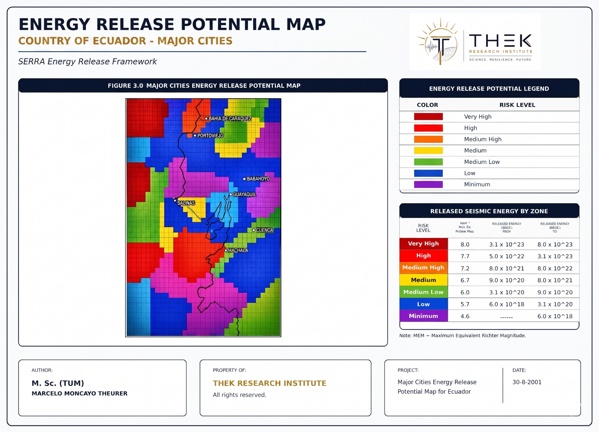
The validation evaluates whether prospective statements formulated before later events correspond with observed reality in the relevant geographic zone, magnitude range and reactivation stage.
Compare the previously identified source zone with the location of later activity.
Compare the expected energy or magnitude class with the observed event.
Compare observed activity with the previously identified reactivation stage.
The historical validation narrative compares the Manabí–Esmeraldas assessment shown in earlier SERRA work with the Mw 7.8 Pedernales earthquake of April 16, 2016.
For the full documentary chain, original supporting files and complete discussion, use the official Zenodo validation record.
Use the live prototype for an operational view, or Zenodo for the complete scientific document.